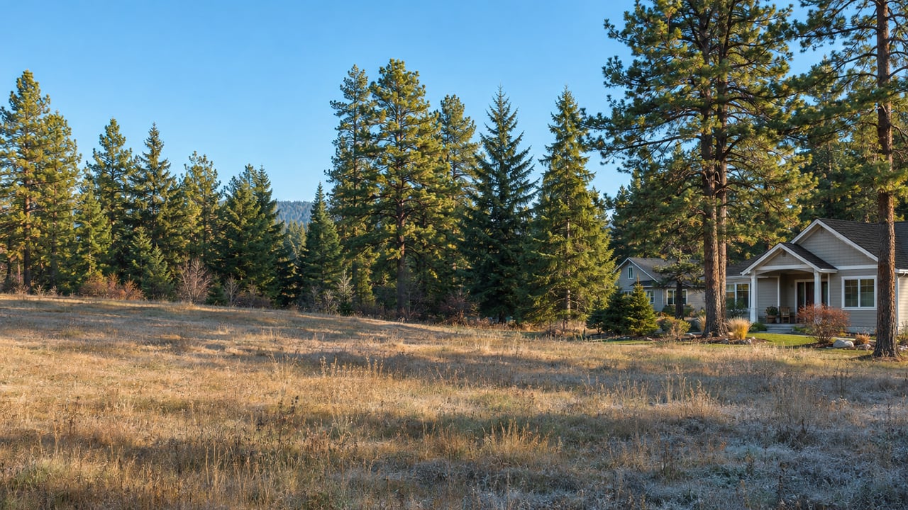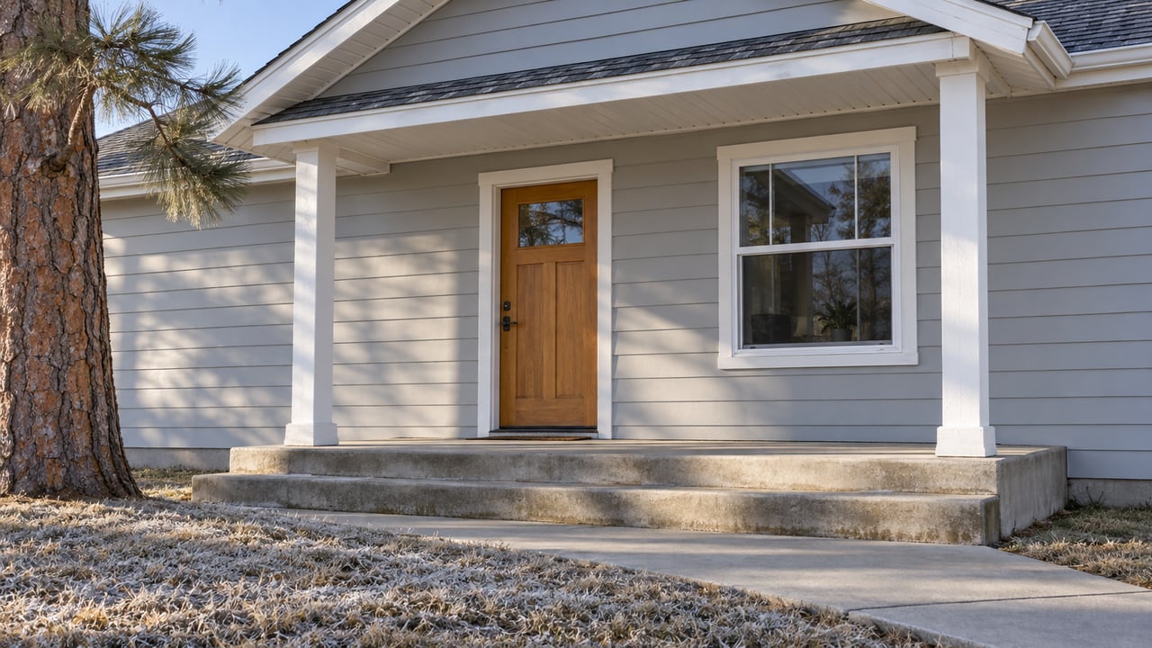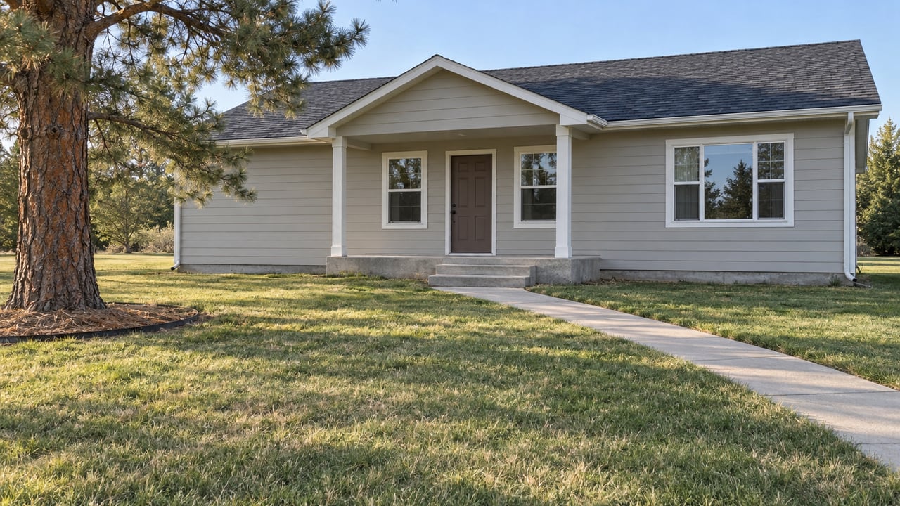
On parts of North Fourth Street in Dalton Gardens, the mailboxes sit on one side of the road. The neighbors who use them live on the other side. In a September survey story from Hagadone News Network, Fourth Street residents described timing their trips to the mail around traffic, with many drivers going over 30 mph where the citywide limit is 25.
Dalton Gardens now has a written proposal aimed at that problem, the Dalton Gardens Safe Streets & Vision Zero Action Plan Narrative. The plan lays out two very different timelines. Signs, striping and beacons could show up within a year, paid for from the city's own small budget. The raised crosswalks and the reworked 15th Street intersection are mainly a grant application, and the city can't apply for the biggest federal grant until the council formally adopts the plan. The Oct. 28 council agenda didn't ask for that.
Where the pressure came from
The proposal started with residents. Dalton Gardens mailed postcards linking to an Ad Hoc Safety Committee survey, and 265 residents responded. More than half said they were satisfied with the Kootenai County Sheriff's Office's speed control. When the survey asked what else needed attention, though, many answers brought up speeding and traffic. Fourth, 15th and 16th streets came up most often, along with Wilbur, Canfield, Deerhaven, Valley and Dalton Avenue.
Enforcement explains part of why the plan leans so heavily on road design. The Sheriff's Office told Hagadone that Dalton Gardens no longer has a dedicated deputy. A deputy covering the city along with nearby unincorporated county areas is assigned each shift, and the office runs traffic emphasis patrols when asked. Paint, signs and raised pavement work around the clock without a patrol car.
Residents have been specific about when the problem peaks. In a letter published by the Coeur d'Alene Press on Sept. 9, resident Kathy Edlund named 6:30 to 8 a.m. and 4:30 to 6 p.m. as the worst windows. She said speeding north from the Dalton Avenue stop sign puts people on foot and on bikes at risk, and noted that students walk, bike and scooter to the elementary and middle schools. Another resident, Charlie Specht, told the Coeur d'Alene Press he recently saw a driver on Fourth Street going "probably doing 40 mph... if not easily more than that."
Councilwoman Sue Supp turned those complaints into the plan. At the Sept. 30 council meeting, Supp proposed adding the "Safe Streets for All Project" to the city's Capital Improvement Plan, and no one offered public comment at that meeting. The plan describes its approach as preventive, not a "purely reactive, crash-history approach."
What the plan would put on each street
The plan centers on Fourth Street, 15th Street and Hanley Avenue, plus the stretch of Dalton Avenue inside city limits. Every item stays within the existing right-of-way. The plan doesn't call for widening any road, and it rules out a roundabout at 15th and Dalton.
| Location | Proposed change | Phase in the plan |
|---|---|---|
| N. Fourth St. at Coeur d'Alene Christian School, 6439 N. 4th St. | 20 mph school zone with flashing beacons and enhanced signs | Phase 1, quick-build |
| N. Fourth St., same school frontage | Raised crosswalk and curb extensions | Phase 2, design and construction |
| N. Fourth St., gap sections | Radar speed feedback signs, periodic targeted enforcement, edge-line striping and shoulder grading to mark a walking edge | Phase 1 |
| E. Hanley Ave. | Refreshed truck-restriction signs under Ordinance No. 265, and edge-line striping along Dalton Elementary walking routes | Phase 1 |
| Walking routes from neighborhood streets to Hanley | Controlled crossings near Dalton Elementary, 5335 N. Mt. Carroll | Locations not yet named |
| N. 15th St. at Dalton Ave. | Radar feedback sign and truck-sign refresh | Phase 1 |
| N. 15th St. at Dalton Ave. | Bulb-outs at two corners, a raised intersection or speed table, restriping to clarify stop control and turn lanes | Phase 2 |
| Hanley, Wilbur Ave. and Totten Ln. | A loaner radar sign that rotates among streets, plus any street where residents document speeding | Phase 1 |
Fourth Street's narrow shoulders explain the striping. The plan says the road lacks separated walking space in some sections and has too little right-of-way for a standalone path. The answer is a painted and graded walking edge, not a sidewalk. It also calls cut-through commuter speeding on Fourth the council's stated priority since 2020. That makes the plan the latest round of an old concern, not a new one.
Hanley has a similar backstory. A 2020 ordinance already restricts trucks there, and the plan cites "continued truck cut-through despite the 2020 ordinance" as the reason to refresh signs and coordinate enforcement. The 15th Street corridor already has four-way stops from earlier traffic changes.
Families near both schools would see an early step. The plan calls for a Safe Routes to School walk audit at each school in year one, covering every block within a half-mile, done on foot with parents, students and city staff. It says the audit would refine the list of fixes with ground-level detail. For now, the Dalton Elementary crossings are described only as routes toward Hanley. No specific intersections are named yet.
Why the cheap items come first and the concrete waits
The phases are ranked by score, not set on a fixed calendar. Each item gets up to 100 points: 30 for proximity to a school and student exposure, 25 for the gap between posted speed and residential setting, 25 for pedestrian and cyclist exposure, and 20 for how quickly and cheaply it can be built.
Those weights favor paint and signs. Phase 1 covers zero to 12 months and includes signs, striping, speed feedback signs, school-zone beacons, the walk audits and an inventory of curb ramps and crossings. The plan describes it as low cost and payable from the city's existing budget or a small award from Idaho's Local Highway Safety Improvement Program. Phase 2 covers one to three years and holds the raised crosswalk on Fourth and the 15th and Dalton rebuild, which the plan sizes for an Idaho LHSIP grant or a federal Safe Streets and Roads for All implementation grant. Phase 3 is the three-to-five-year window, and it is empty. The plan says no capital-scale corridor work has been identified.
The plan itself quotes Mayor Curt Jernigan, crediting the Coeur d'Alene Press, as saying the city has "a very small budget to keep up on the streets," and says it will rely on outside safety grants to supplement the general fund. It also says many Phase 1 measures are already in place. No cost figures have been released. A companion workbook is supposed to list each item's score, phase and cost estimate, but it isn't in the posted packet.
The vote that unlocks the money
Concrete work on Fourth Street depends on the federal grant program. In USDOT's description, the Safe Streets and Roads for All program received $5 billion over fiscal years 2022 through 2026, with about $1 billion left for the next round. The FY2026 funding notice closed May 26, 2026. Applicants for implementation grants must have an eligible action plan. The Dalton Gardens narrative says the same thing in its own terms: adopting the plan by council resolution "unlocks funding this town could not otherwise pursue."
That gives the plan a set order of steps:
- The council accepts the initiative as a Capital Improvement Project. The Oct. 28 agenda listed this as an action item.
- The council adopts a full plan by resolution, which is a separate vote.
- The city applies for Idaho LHSIP money for Phase 1 and 2 crossing work, and for federal implementation money for the larger items. The plan notes that city records show an earlier LHSIP pedestrian-safety application.
- Construction follows any award. The general fund is set aside for required grant matches and the cheapest Phase 1 items.
As of early October, Jernigan told the Coeur d'Alene Press that "no action has been taken, and no additional planning or implementation has occurred beyond what is presented in the submitted document." Even if the CIP vote passed on Oct. 28, it only put the plan on the city's list of projects. Adoption is the step that opens the door to grants.
Regional planning is moving at the same time. The Kootenai Metropolitan Planning Organization is updating its Metropolitan Transportation Plan, aiming to finish by the end of 2026, with added safety analysis tied to the federal program. That's a regional document, though, not a replacement for Dalton Gardens adopting its own plan.
In practice, residents would likely see radar signs, fresh edge lines and a flashing school-zone beacon on Fourth Street first, possibly within a year of approval. The raised crossing in front of 6439 N. 4th St. and the speed table at 15th and Dalton depend on a resolution, a grant application and an award, with one to three years for design and construction after that. The plan's own timeline covers three to five years overall. Council agendas and packets are posted on the City of Dalton Gardens website, and the adoption resolution will appear there before any concrete is poured.
If you live on one of these streets and wonder how traffic changes like these could affect your home's value or your plans, Natalie Priebe follows Dalton Gardens council decisions closely and is happy to talk them through with you. Contact Natalie for a personalized market consultation.